Home » Blog » Press releases »
From now on, Route 66 Navigation navigates travelers on Route 66 also to Las Vegas, NM
The Route 66 navigation team has prepared news for users of the application - turn-by-turn maps for Route 66 have expanded to the city of Las Vegas in New Mexico.
Maps and navigation have been changed to Santa Fe loop – Route 66, which was in operation between 1926 and 1937. Route 66 was originally from Santa Rosa via Romeroville to Las Vegas where it connected to the Ozark Trial to Santa Fe. In 1937 was built the so-called “Santa Fe cut off” where Route 66 was passing Santa Fe through Moriarty to Albuqurque.
The 66 Route Navigation application offers both options of the routes:
- ROUTE A Route through the section of 1926 towards Santa Fe and Albuquerque
- ROUTE B leads travelers to Albuquerque via Moriarty
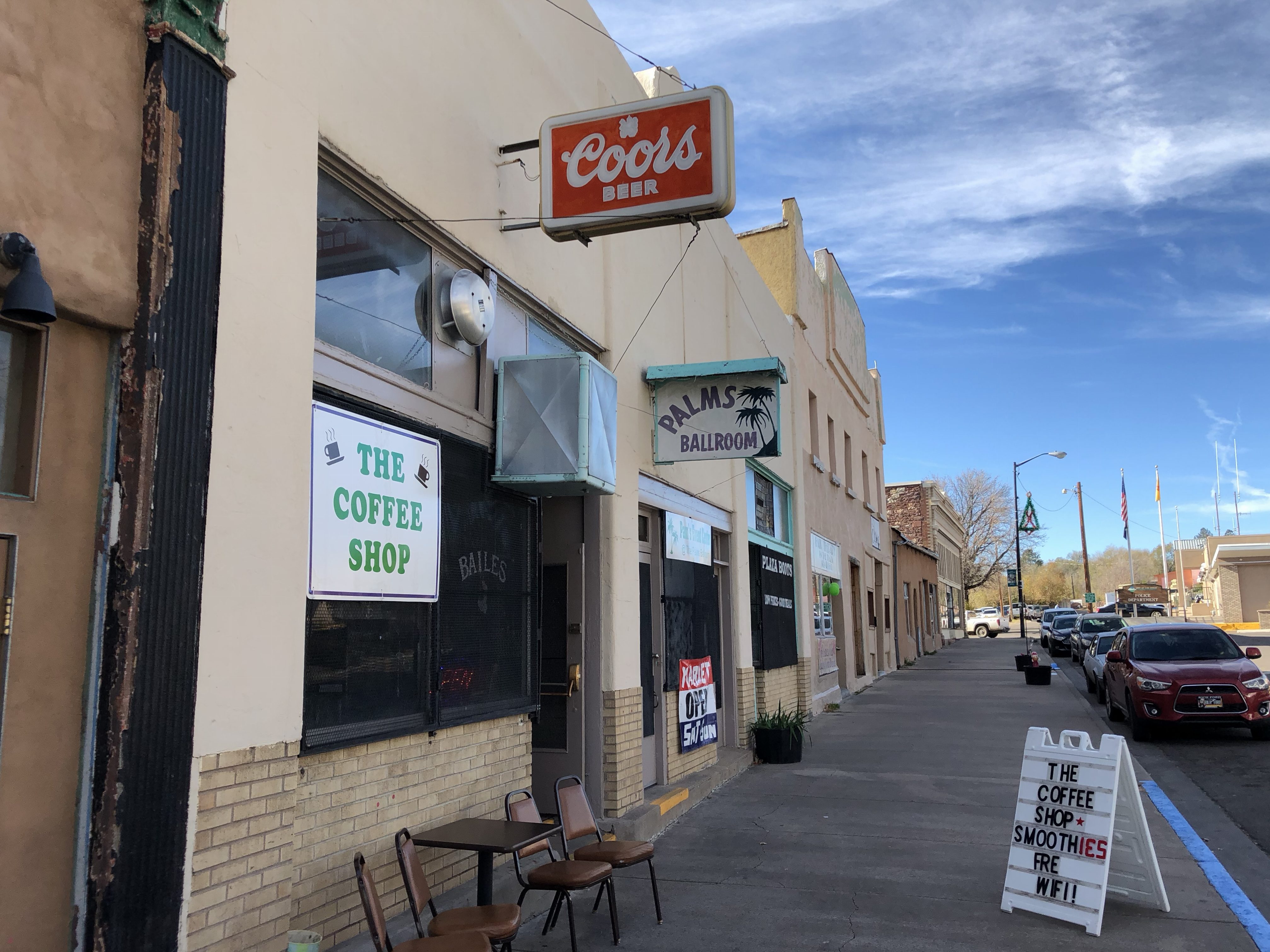
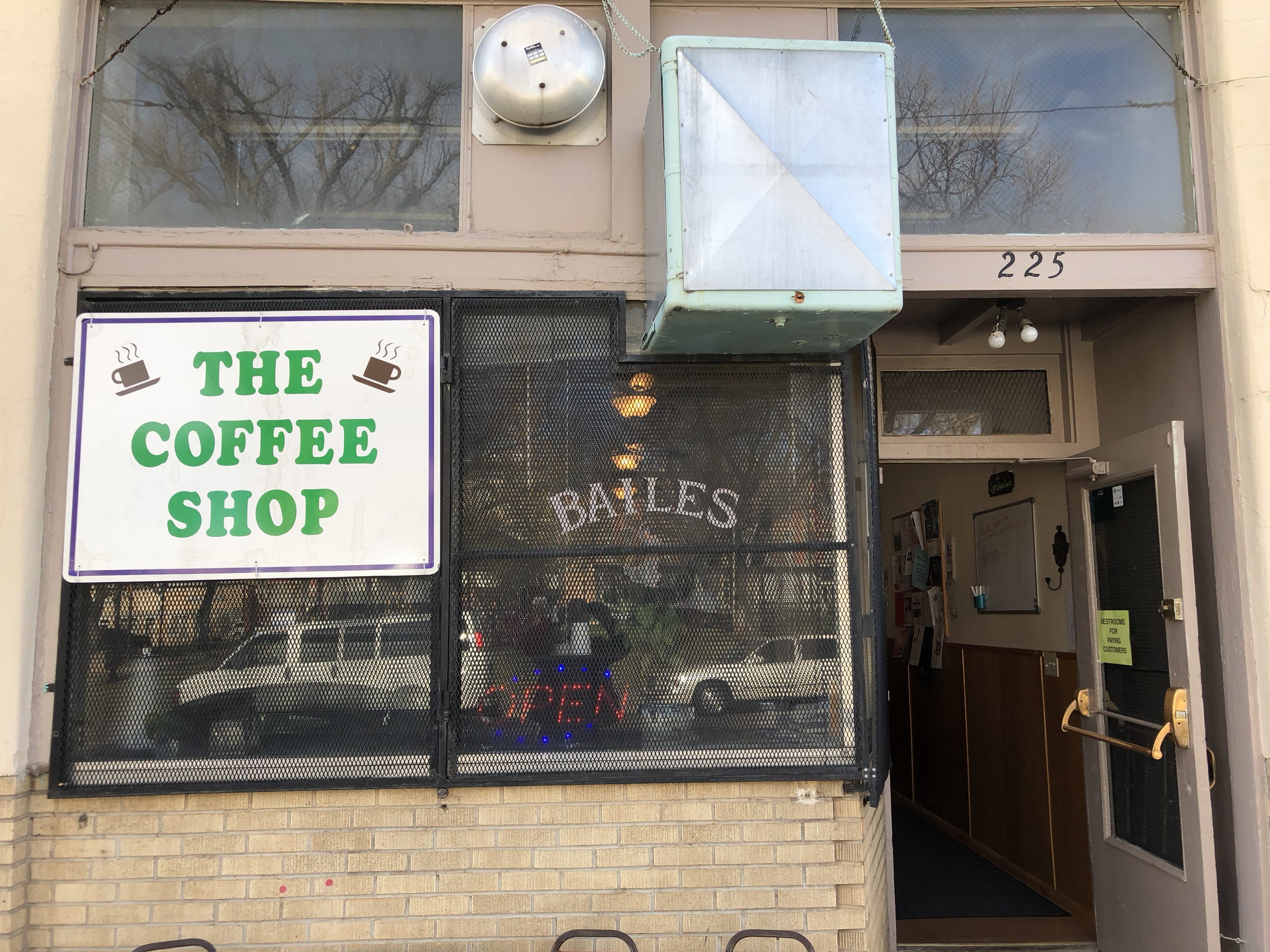
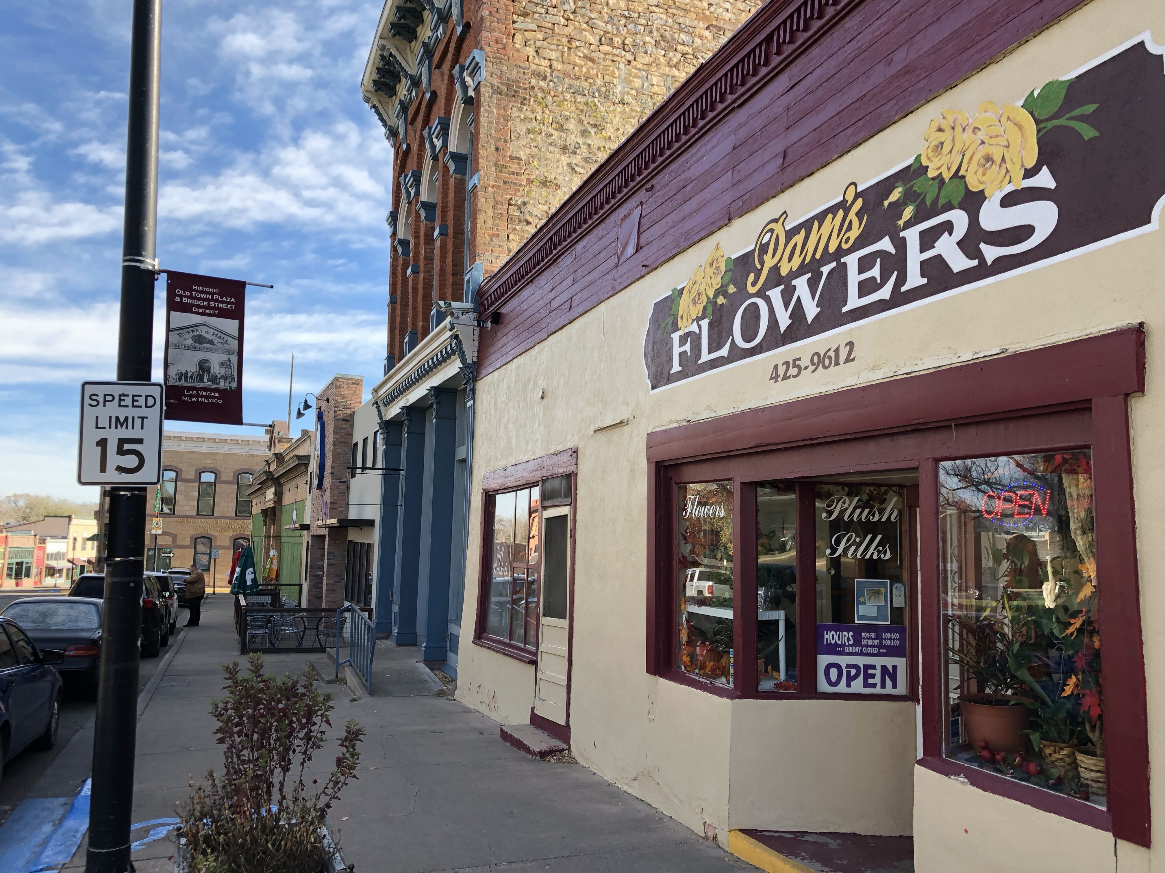
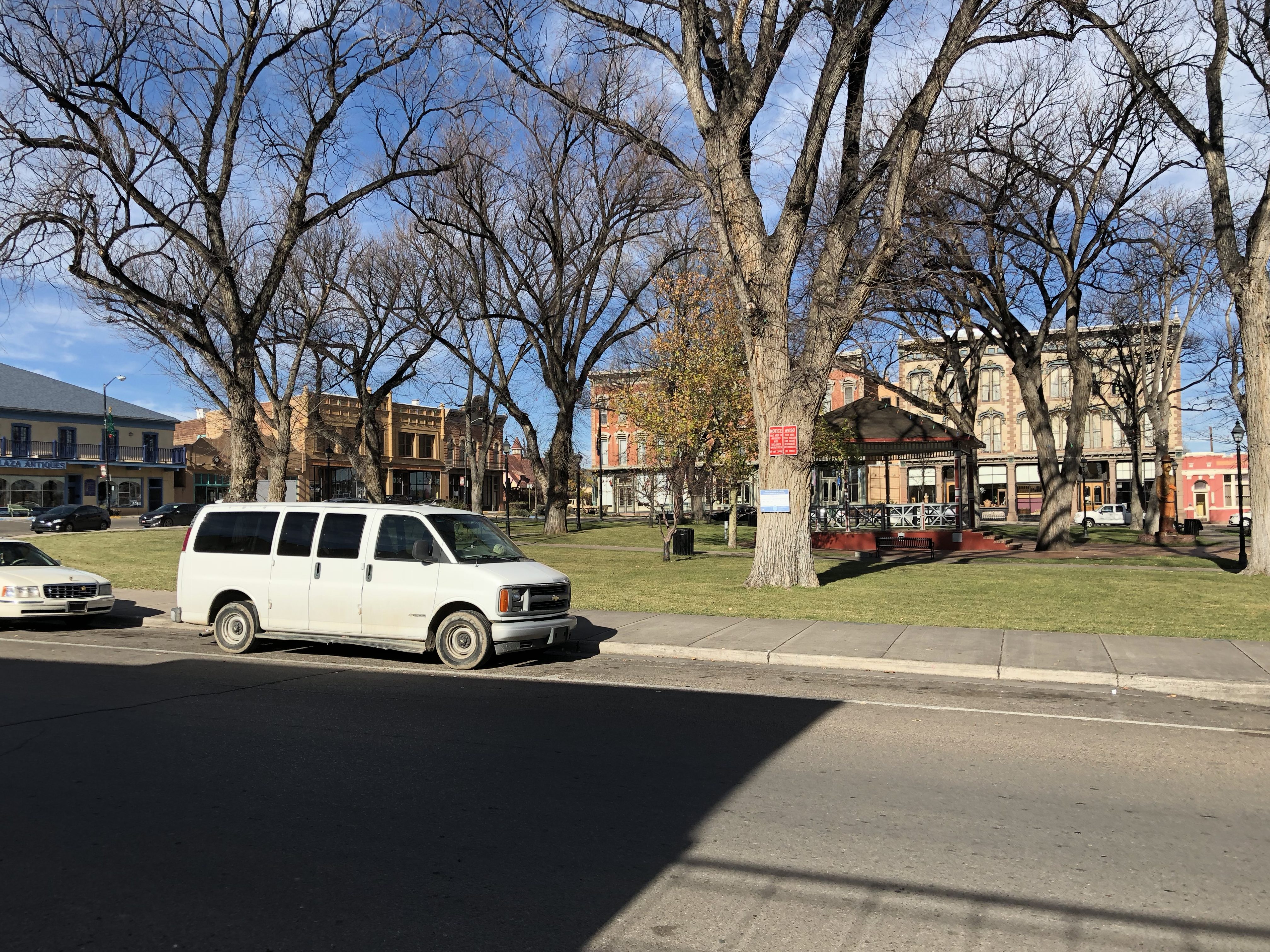
As of April 1st, 2018, ROUTE A is expanded with the Las Vegas loop. Travelers turn to Romeroville and after 6 miles to Las Vegas, NM. They’ll go through the historic Plaza to the city downtown. They can take advantage of several exceptional POIs, whether historic Plaza Hotel, a very nice downtown, museum or historic hotel Castaneda.
The navigation will then take them back to Romeroville and Tecolote in the direction of Santa Fe.
Las Vegas, NM is an attractive stop for Route 66 travelers
Las Vegas has a rich history and is a tourist attractive location. According to Wikipedia, Las Vegas was established in 1835 after a group of settlers received a land grant from the Mexican government. The town was laid out in the traditional Spanish Colonial style, with a central plaza surrounded by buildings which could serve as fortifications in case of attack.
Las Vegas soon prospered as a stop on the Santa Fe Trail. During the Mexican-American War in 1846, Stephen W. Kearny delivered an address at the Plaza of Las Vegas claiming New Mexico for the United States. In 1877 Las Vegas College, the precursor to Regis University, was founded in Las Vegas by a group of exiled Italian Jesuits. In 1887, Las Vegas College moved to Denver whereupon the name was changed.
A railroad was constructed to the town in 1880. To maintain control of development rights, it established a station and related development one mile east of the Plaza, creating a separate, rival New Town, as occurred elsewhere in the Old West. During the railroad era Las Vegas boomed, quickly becoming one of the largest cities in the American Southwest.
Turn-of-the-century Las Vegas featured all the modern amenities, including an electric street railway, the “Duncan Opera House” at the northeast corner of 6th Street and Douglas Avenue, a Carnegie library, the Hotel Castaneda (a major Harvey House), and the New Mexico Normal School (now New Mexico Highlands University).
Since the decline and restructuring of the railroad industry began in the 1950s, the city’s population has remained relatively constant. Although the two towns have been combined, separate school districts have been maintained (Las Vegas City Schools and West Las Vegas School District).
READ ALSO:
- Discover Route 66 in Texas in this video by Nick Gerlich
- The most beautiful places on old Route 66: Country Rd from Cuervo to Santa Rosa
Comments